

Birmingham emerged from the Second World War architecturally scarred, but far from obliterated. German bombing raids inflicted heavy damage across the city, yet the destruction was dispersed. In a strange twist of history, this gave Birmingham a unique opportunity: after the war, the city faced not only the challenge of what to rebuild, but what kind of city it wanted to become in the future.
At the time, that future was increasingly envisioned with the motor car taking centre stage. Birmingham was growing at breakneck speed, its booming manufacturing sector demanded better transport links, and vehicle numbers were surging. To learn more about how post-war decisions reshaped Birmingham’s architecture, visit birmingham-future.com.
Pre-War Roads: How Cars Shared Birmingham’s Streets with Trams
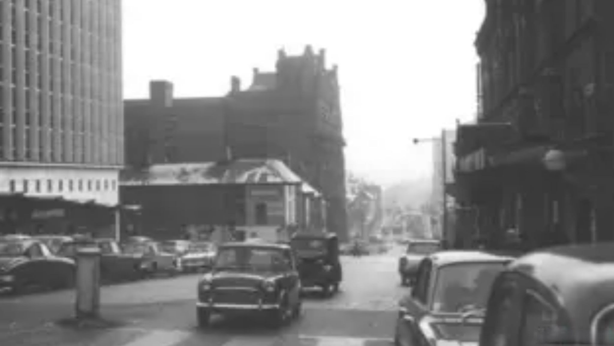
Even before World War II, Birmingham was a major industrial powerhouse grappling with an acute traffic crisis. Its population, factories, and commercial activity were expanding far faster than its historic street grid could handle.
This was not yet a car-dominated world in the modern sense. Streets were a crowded mix of trams, buses, delivery lorries, private cars, cyclists, and pedestrians. All of them jostled for space on roadways that, in many cases, had been laid out when the horse was still the primary mode of travel.
As a result, city planners were already drafting ambitious transport overhauls, street-widening schemes, and redevelopments of entire districts. While the outbreak of war interrupted these pre-war initiatives, the underlying problem remained unresolved after 1945. In fact, it had only grown more pressing.
The motor car was swiftly transitioning from a modest participant in urban life into its defining protagonist. And city planners were eager to set the stage for it.
Delivering that vision, however, proved to be a slow process. Constrained by post-war austerity, the British economy could not fund such capital-intensive projects overnight. Strict expenditure limits delayed the construction of Birmingham’s Inner Ring Road until 1953, and the full system was not completed until 1971.
After the Blitz: Why Birmingham Lacked a Single Master Plan
The Second World War accelerated the need to overhaul Birmingham’s outdated urban layout. The city had suffered heavy Luftwaffe bombing raids that battered residential neighbourhoods, manufacturing plants, transport hubs, and the central retail district.
Yet Birmingham took an unconventional route to reconstruction. Rather than waiting for a comprehensive master plan that would chart the city’s course with a single stroke of the pen, no unified blueprint ever materialized in the post-war era.
Instead, redevelopment unfolded like an urban jigsaw puzzle.
Slums were cleared independently. New housing estates sprouted in isolated pockets. Road networks were mapped out separately. Meanwhile, commercial precincts and civic centres emerged on their own terms. Step by step, these disjointed pieces assembled into a new Birmingham.
The sheer scale of this transformation was staggering. According to municipal archives, the council demolished roughly 55,000 substandard houses and erected 81,000 new dwellings between 1945 and 1970. Alongside this residential boom came high-rise apartment towers, expansive new suburbs, and major infrastructure projects.
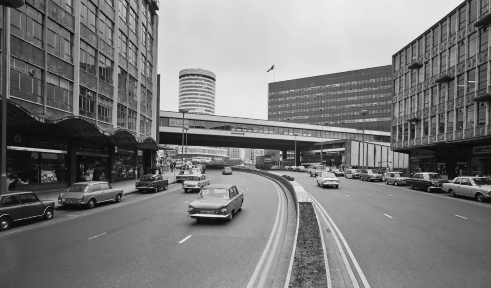
Nowhere was the transformation more radical than in the city centre. Here, the automobile became the primary design consideration for architects and municipal engineers. Because historic streets could no longer accommodate surging traffic volumes, roads were elevated onto viaducts, routed through underground tunnels, and split into multilevel interchanges.
It was an era when reinforced concrete was hailed as the ultimate hallmark of human progress.
If pedestrians were in the way of traffic, they were shunted into underground subways. If an intersection caused congestion, a flyover was thrown across it. If two streams of traffic could not fit on a single grade, they built a three-level interchange. The city was rapidly transforming into a multilayered machine.
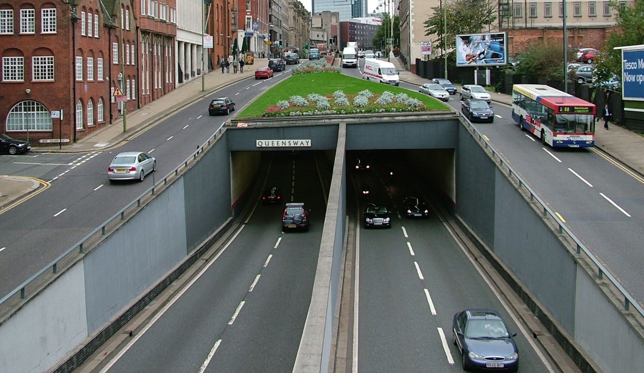
One of the era’s defining showcases was Paradise Circus. The scheme integrated the Queensway ring road directly into a transport interchange, submerging the carriageway below ground level. Above this corridor sat civic and cultural landmarks, notably the new Central Library. Design work began in 1964, and construction got underway in 1968.
The “Concrete Collar” and Spaghetti Junction: How Birmingham Became a Motor City
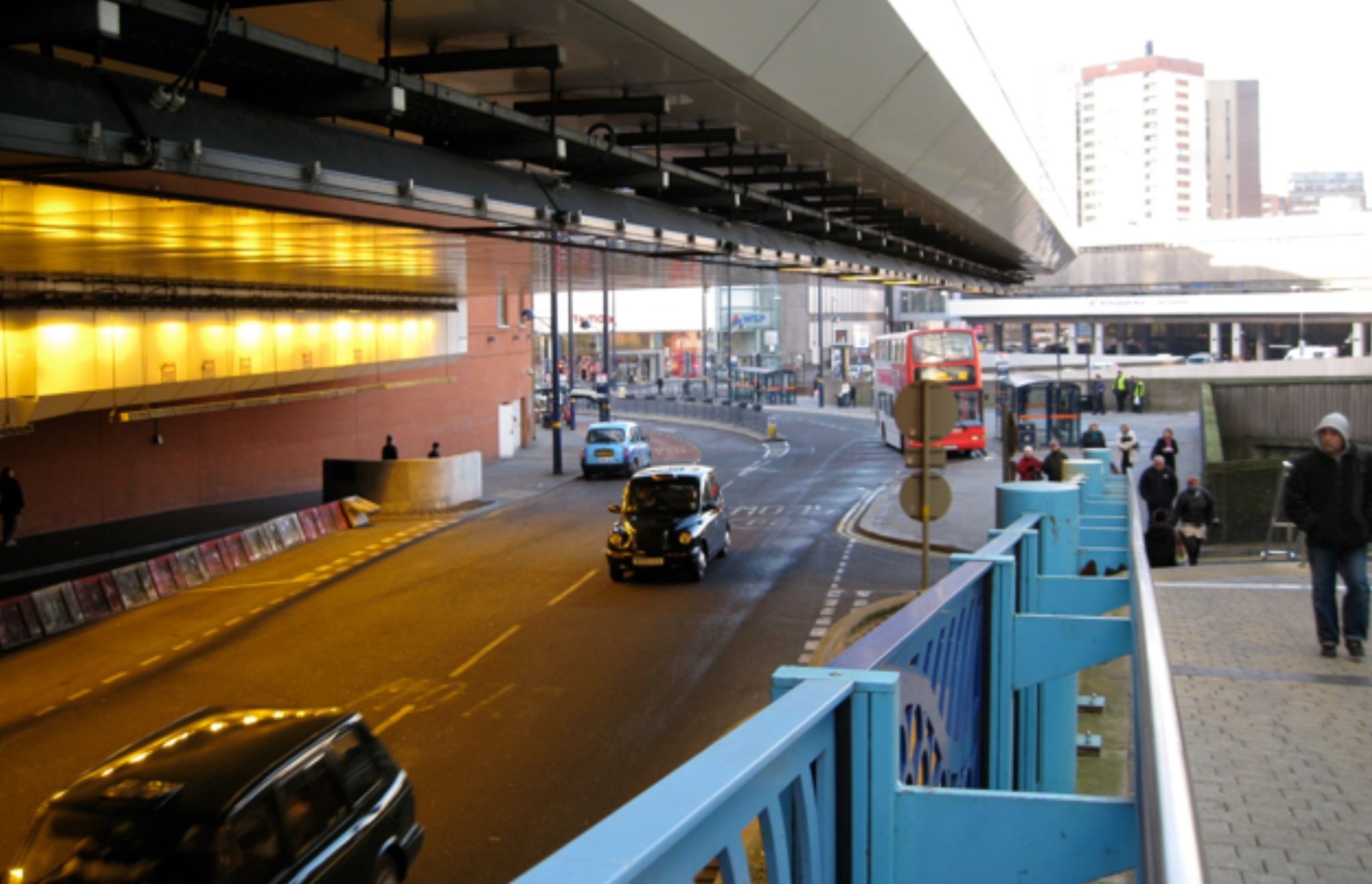
Post-war modernisation changed not just Birmingham’s skyline, but the entire rhythm of urban life. Throughout the 1950s and 1960s, work progressed on the Inner Ring Road circling the heart of the city. While conceived to relieve central gridlock, it inadvertently sparked a new crisis: motorists gained an uninterrupted orbital bypass, but pedestrians found it nearly impossible to cross between neighbouring districts. Birmingham quickly earned a reputation as a city trapped inside a vehicular “concrete collar.”
The ring road—bristling with grade-separated junctions, underpasses, and multi-lane expressways—effectively severed the central core into isolated enclaves. Town planners had operated on a premise that seemed entirely logical at the time: as traffic grew, roads had to expand to accommodate it. The fatal flaw revealed itself only later: so much space was surrendered to cars that the city lost its human scale.
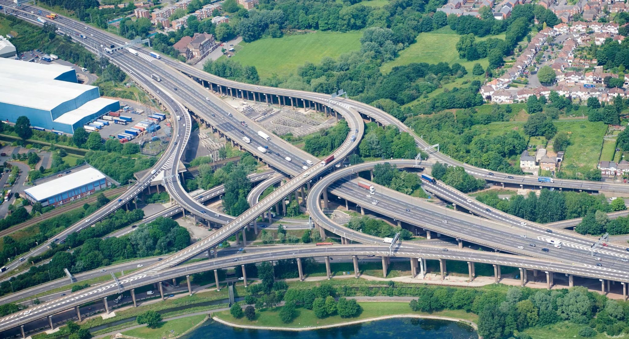
The next ambition went beyond restructuring the city centre: Birmingham needed to be plugged directly into Britain’s expanding motorway network. The undisputed icon of this era was the Gravelly Hill Interchange, universally known as Spaghetti Junction. Connecting the M6 motorway with the A38(M), the interchange was constructed between 1968 and 1972 as a cornerstone of the Midland Links system, linking Birmingham to the country’s main arterial routes.
The engineering was so labyrinthine that a local Birmingham reporter famously compared the proposed layout to a plate of spaghetti back in 1965—and the moniker stuck for good. Resting on 559 concrete pillars and costing roughly £10 million, the interchange officially opened to its first traffic on 24 May 1972.
Designers had originally planned for a daily capacity of around 70,000 vehicles. Fifty years on, daily traffic on Spaghetti Junction exceeds 200,000. The engineering gamble succeeded—perhaps a little too well. Birmingham had indeed created a city tailor-made for the motor car. But subsequent generations of urban planners were left with the daunting task of figuring out how to bring pedestrians back into the urban landscape.
Birmingham Beyond the Automobile: Road Diets, Restrictions, and a Reimagined Centre
Today, Birmingham is no longer trying to solve congestion simply by carving another multilane expressway through its core. Instead, contemporary urban policy is guided by the exact opposite philosophy: the city centre must work for people, not just for cars.
This marks a dramatic departure from post-war planning orthodoxy.
The city has steadily reclaimed public space for pedestrians, redesigned hostile junctions, and opened vibrant new civic squares. Where walkers were once forced into dingy pedestrian subways so vehicles could speed unhindered, surface-level crossings have been restored. Where urban motorways once sliced neighbourhoods apart, new links are stitching divided quarters back together.
Even vehicular access to the city core is now managed through targeted policy measures rather than new overpasses.
Birmingham now operates a Clean Air Zone encompassing the entire city centre within the A4540 Middleway ring road. Drivers of vehicles that fail to meet strict emissions standards must pay a daily charge to enter.
Perhaps that is the greatest lesson of post-war modernist planning: while redesigning a city on paper can happen in a flash, untangling the real-world consequences of those “progressive” visions can take generations.